Options:

Machu Picchu

Friday, February 13

IMG_3841.jpg

Our plan was to get up at 4:45 am in order to be one of the first ones in line for the bus to Machu Picchu. I woke up frequently during the night like a school girl anticipating her first day of classes. It worked out for the better because for some reason our alarm did not go off, and I woke us up at 5 am in a panic. We got dressed and gathered all our things in 10 minutes and by 5:15 am we were at the bus station. It was a dark, chilly and rainy morning. There were already about 200 people in front of us, so we figured we might have to be in the 10 am group to climb Wayna Picchu, which was a bit of a disappointment.
IMG_3832.jpg

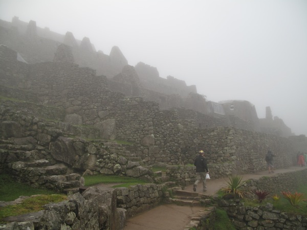
The first set of busses arrived, and took us to the Machu Picchu complex by the twisty road we saw from Putucusi yesterday. We were on bus number nine. The rain turned to drizzling and most people were wearing plastic rain ponchos. We bought a pair but ended up not using them as both of us had waterproof jackets (a must for this kind of trip). At the entrance gate everyone was in hurry, trying to get through and run to the opposite side of the ruins in a fog to get in line for receiving the number to climb Wayna Picchu. Overall it seemed like a dumb system – you spend the whole morning in a rat race wondering whether or not you’re gonna make it within the first 400 people. Some people were indiscreetly cutting in line, some trying to run you over, others were just plain rude. Why we couldn’t get the number at the main entrance to eliminate all this hassle I have no idea. You walk past the entirety of Machu Picchu, ignoring it while racing it to the line on the other side.
P1020971.jpg

Finally, it was our turn to pick the number and to our huge surprise and after all this worrying we got 34 and 35 for a 7 am climb. Apparently most people were opting for 10 am, which it turned out was a much worse time to do the climb as the first group was coming down and it was crowded on the trail and at the top.
IMG_3859.jpg
IMG_3873.jpg

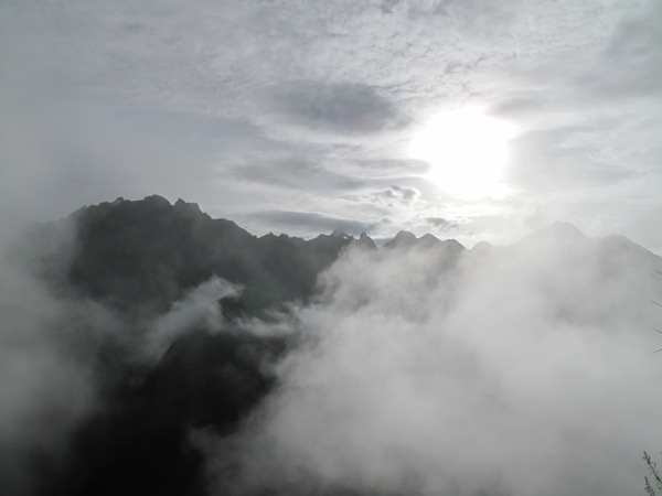
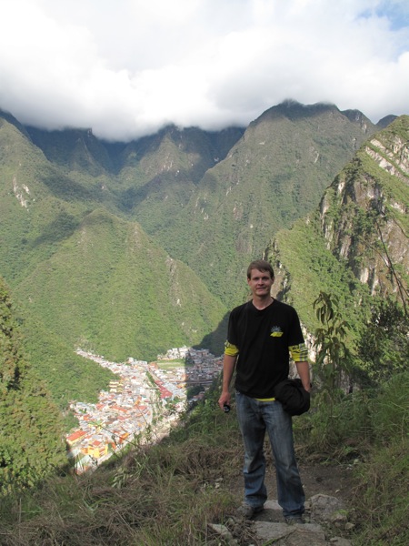
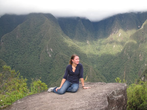
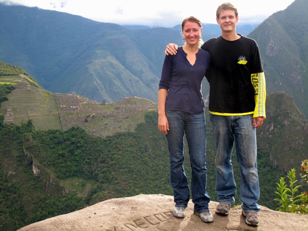
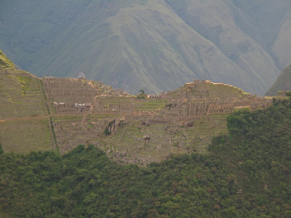
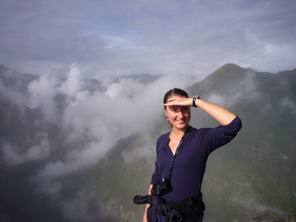
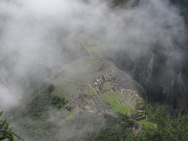
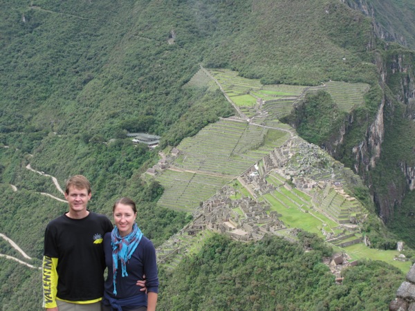
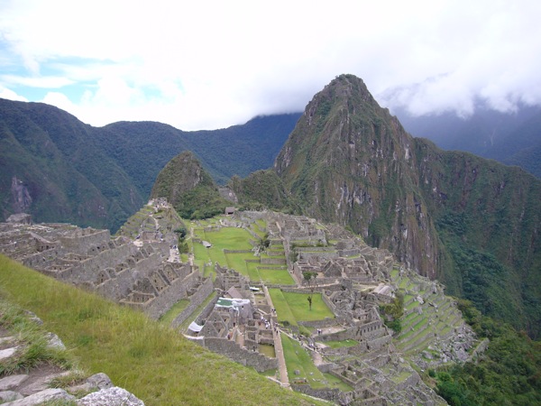
The climb was quite steep and exhausting. The fog was still pretty thick, covering most of the complex and the surrounding mountains. By the time we got to the top it started clearing up however. We were one of the first 10 people on the mountain and found a great spot on the rock with the perfect view of the ruins where we had our little picnic breakfast. In about an hour the place started getting really crowded. We milked our seats for as long as we needed and after finally having our fill of the view went on to exploring the rest of the mountain top, which had stunning views of the ruins, surrounding mountains, the river and the valley.
P1030036.jpg

On this trip I brought with me some of my mom’s ashes planning to disburse them in special places along the way. Machu Picchu was one of the places I had in mind. We found a quite corner of the mountain and I let the ashes into the air, wind carrying them towards the sacred site of the Incas.
P1030020.jpg

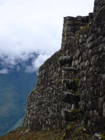
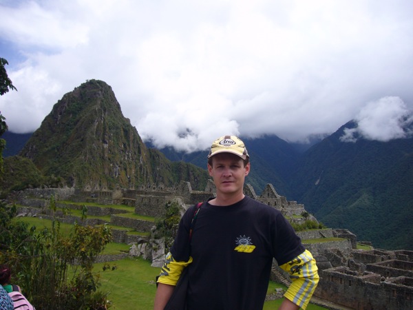
After wandering around Wayna Picchu, we started descending down, just in time for the 10 am group to be climbing up. We were extremely happy that we chose the 7 am group, it was so tranquil and special to be the first ones up on the mountain. The other plus was that the temperature had risen, and we were getting sweaty coming down, so it must have been worse climbing up.
P1030029.jpg

We had an arranged group tour at 11:30 am, but after seeing the size of the group and realizing that the guide was giving explanations in both Spanish and English, we decided to hire a private guide. We had learned previously on this trip that if the tour is in tour languages you get half the information in twice the time. It was about $35 for a two-hour tour and it was money very well spent.
P1030041.jpg

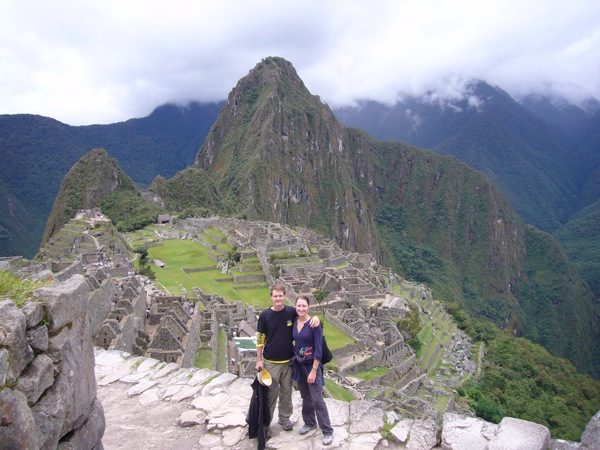
He took us to the spot above the ruins, near the Funerary Rock that had the classic postcard view of the ruins.
P1030032.jpg

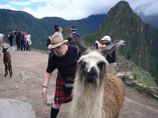
I was surprised to see llamas wondering around the area, as they usually prefer much lower and flatter territory. We found out from the guide that a group of Chilean scientists brought a couple of llamas with them a number of years ago and since then, the family grew to about 15 llamas.
P1030046.jpg

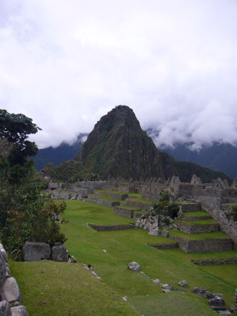
From that vantage point we could see clearly the full layout of Machu Picchu which had well-defined agricultural and urban zones. At its pick Machu Picchu was home to over 600 inhabitants. High class and priests lived separate from the working population.
P1030044.jpg

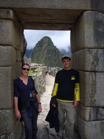
We then headed down to the main section of the ruins through the main entrance “gates” to the city.
P1030047.jpg
P1030054.jpg

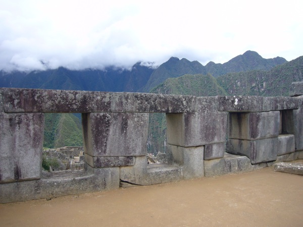
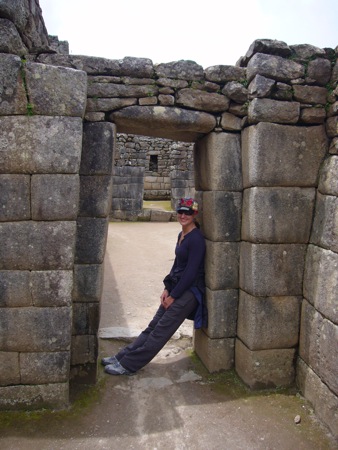
In the next two hours we visited the main points of interest of the ruins, such as the Royal Sector, The Temple of the Three Windows, Sacred Plaza, The House of the Priest, The Intihuatana (a sun dial that functioned as an astronomical and agricultural calendar), The Sacred Rock, The Central Plaza, and The Temple of the Condor.
P1030056.jpg

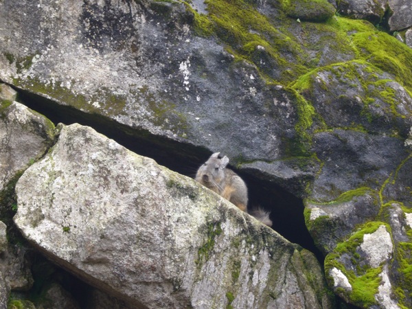
A few times we even spotted chinchillas, a cutesy mix of rabbit and squirrel native to the andes mountains, resting on the rocks.

We very much enjoyed our private tour and felt lucky to have had a very sunny and clear day. Normally at this time of year, it rains a lot and the guide told us that a few days before our visit the ruins were completely covered in a fog all day long. During the rainy season however they get less people, 1,000 vs 3,000 a day. So it was a win-win day for us. Sunny, warm and fewer people.
P1030061.jpg

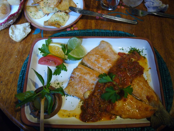
We took a bus back to Aquas Calientes and had 3 hours to kill before our train back. I went for a cheap massage while Matt enjoyed some computer time to himself. We then went to Indi Feliz Bistro restaurant for dinner, and it was one of the best meals we have had on this trip. The restaurant is run by a French expat and his Peruvian wife, serving a fusion of French and Peruvian cuisine, It is quite famous and is considered to be one of the best restaurants in all Peru. When dignitaries and important people come to Machu Picchu this is where they go for dinner. Our dinner was outstanding: a salad of avocado and mango with mustardy lime dressing, tomato basil soup in a clay pot, beef with pisco dressing and fresh trout with garlic sauce. I would be fantasizing about this dinner for days to come.
P1030067.jpg

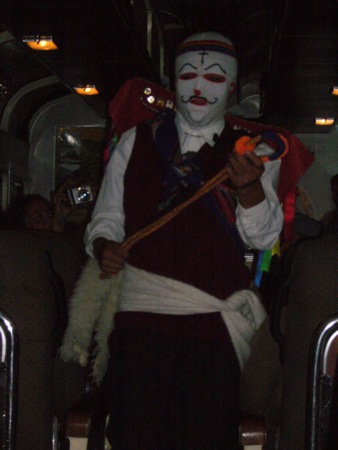
After dinner we caught our train back to Ollantaytambo. During the train ride the staff organized quite a spectacle. First, there was a guy dressed in traditional Peruvian costume running around the cabin to the sound of spooky native beats. Then they had a fashion show, modeling Alpaca sweaters to the music of ABBA, which was hilarious. It didn’t seem like anyone bought anything but it was a great entertainment piece.

At the Ollantaytambo train station we were met by our taxi driver and taken back to our Cusco hotel. Tomorrow we will spend another day on the town before heading east to Lake Titicaca.
Back online soon

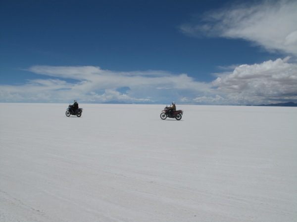
This is an out of sequence entry for a status update. After a week off the grid in Bolivia, we passed through the corner of Chile and are now in northern Argentina. Bolivia was beautiful but very challenging riding. We have a backlog of written posts as far back at Machu Picchu which hopefully we can get up online soon!

IMG_4146.jpg

Cusco to Aquas Calientes: Prelude to Machu Picchu

Thursday, February 12

IMG_3744.jpg

In the morning we went back to the Vicuña factory store and purchased some of the things we set aside yesterday. The arranged taxi driver picked us up at 11 am from the hotel and took us to the town of Ollantaytambo from where we were scheduled to take a train to Aquas Calientes.

IMG_3750.jpg

We grabbed a quick lunch at the train station cafe, ordering burgers. We agreed they definitely did not taste like beef, concluding that we probably had alpaca meat. It tasted a bit like game, and yet again, my preference lies with traditional meat choices.

[qt:/southernexposure/wp-content/uploads/2009/02/mvi_3762.mov 320 240]

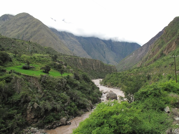
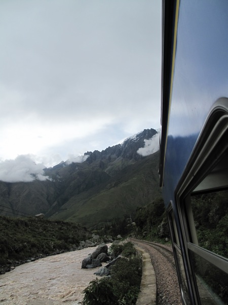
The train ride was about 1.5 hours and was very pleasant taking us through picturesque mountain scenery along a mountain river with a very strong current and turbulent rapids. We later found out that this river goes all the way to the Amazon.

[qt:/southernexposure/wp-content/uploads/2009/02/mvi_3771.mov 320 240]

[qt:/southernexposure/wp-content/uploads/2009/02/mvi_3772.mov 320 240]

We were met at the station by the hotel staff and taken to our room. Alfredo promised a room with the view of the river, but we got one with the view of the noisy street construction. We complained, and the hotel girl who was extremely nice said rooms with the river view were under construction and had no water. We really wanted to sleep with the sound of the river by our side, so we asked to take the room with the view and use the bathrooms in the room across the hall. She agreed and we were content, as the rooms were pleasant and clean contrary to what we prepared ourselves for.

P1020925.jpg
P1020927.jpg

It was about 3 pm in the afternoon, so we decided to take a hike to Putucusi mountain opposite Machu Picchu that was supposed to offer spectacular views of the ruins and the surrounding area.

IMG_3792.jpg
IMG_3809.jpg

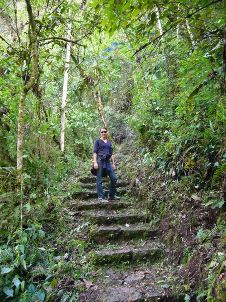
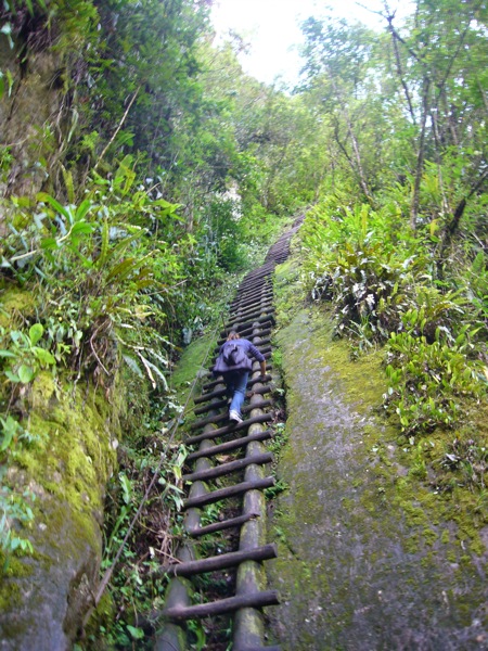
We hiked 400 or more meters up, which took about an hour, and at that altitude we had to stop frequently to catch our breath. There were about 4-5 ladders along the trail that were almost vertical. The views at the top however were breathtaking and worth all the effort. We could see Aquas Calientes, the surrounding mountainas and valleys, the whole Machu Picchu complex, the zig-zagy road to it, and Wayna Picchu which we were to climb tomorrow morning.

IMG_3801.jpg
IMG_3814.jpg

After half an hour the sun was starting to set so we headed back down. We grabbed dinner at one of the numerous “pizza+everything else” restaurants, where I also had Ensalada Rusa, a Russian potato salad. I’ve seen those on the menu at other restaurants in Peru. In addition to potatoes they have beets, making it a fusion of potato and beet (vinigret) Russian salads.

We fell asleep to the cool sounds of the river anticipating to get up at 5 am to get in line for the bus to Machu Picchu.

IMG_3830.jpg

Cusco: Introduction

Wednesday, February 11

Our plan for today was to set up our Machu Picchu adventure and wonder around town, do some shopping and soak in the culture.

IMG_3715.jpg

Alfredo, the helper from last night showed up at the hotel at breakfast to tell us about our options for Machu Picchu. We wanted to climb Wayna Picchu, the steep mountain that overlooks the complex, which only 400 people a day are allowed to climb. It was apparent that we had to spend the night in the town of Aquas Calientes, which is the closest stop over to Machu Picchu, and the next morning take one of the first buses to the ruins to get in line for the number to climb Wayna Picchu. After that we can do our tour of the whole complex, and we would have a few hours in Aquas Calientes to grab dinner, before heading back to Cusco. Of course Alfredo, offered to take care of all the reservations for us through his travel agency. We knew he was probably overcharging us $20 each for the all-inclusive trip, but for the sake of convenience and in order to allow more time to spend in the town we took him up on the offer.

IMG_3692.jpg

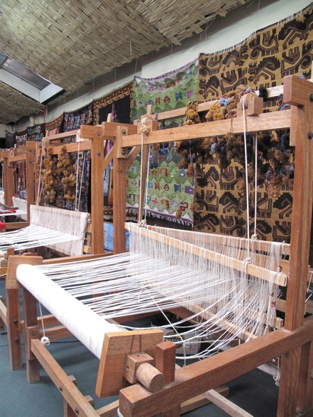
We were really keen on getting us some famous Alpaca sweaters, but weren’t too confident about our ability to tell the difference between the real and the fake alpaca. Pretty much all places in Cusco claim they sell the real deal. Alfredo came to the rescue and took us to a factory shop that produced their own clothing specializing mainly in baby Alpaca, some of the finest and softest material we ever felt. They also had a rug and a jewelry factory next door, so this was a one stop shopping for us.
IMG_3711.jpg

After a quick hands-on overview of the different types of threads and a lesson on how to tell one from the other (mainly through touch), we started our exhausting shopping journey. We settled in on a few sweaters and scarves for ourselves and as presents for family, and decided to set them aside and come back tomorrow in order to compare prices and quality in other shops in the town.

IMG_3695.jpg

We spend the rest of the afternoon wondering around the narrow streets of Cusco in a true gringo fashion visiting shops and local markets, eyeballing cool things to buy. Apart from Mexico and Guatemala we were not that impressed with local crafts in other countries we’ve visited. Peru and Cusco in particular is a shopping heaven for anyone interested in the finest quality clothing, unique jewelry, textiles, gifts and random traditional chachkis.

IMG_3701.jpg

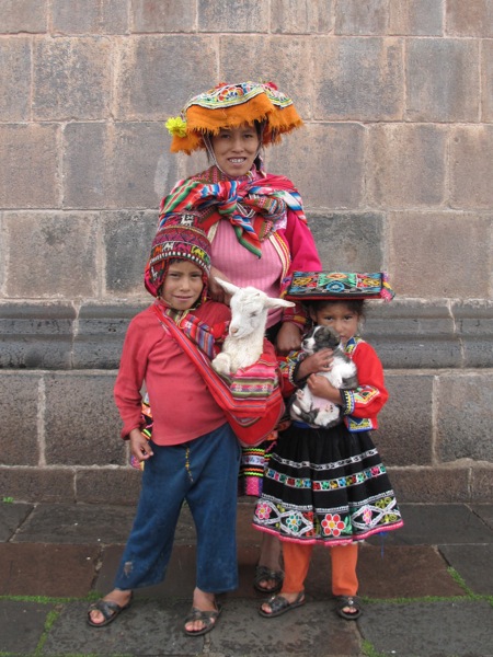
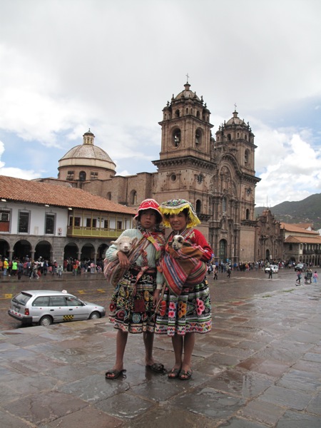
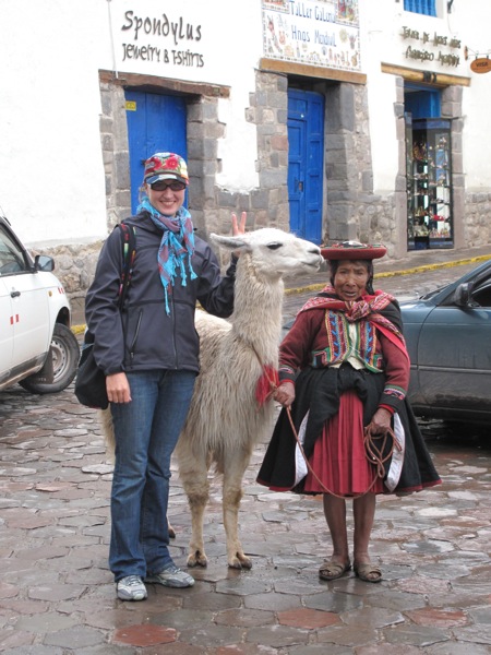
One of the cutest things in Cusco are local girls and women who dress up in traditional colorful clothing to pose for pictures. The little girls carry adorable lambs in their pouches and the old ladies bring docile llamas with them and allow you to take a picture with them for one sole. (30 cents).

IMG_3709.jpg

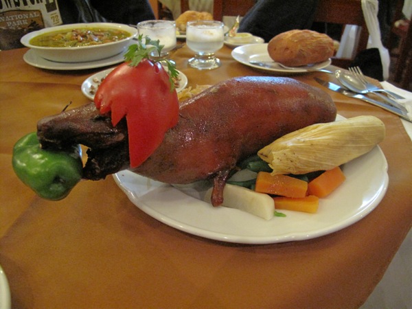
In the evening we decided to finally satisfy our curiosity and try the local favourite dish of cuy (guinea pig) at one of the recommended traditional Peruvian restaurants. Poor Matt who is a border line vegetarian was visibly displeased by the thought of the brown crusty rat-pig on his plate, but gave in to my spirit of inquiry.

IMG_3739.jpg

It was a total disappointment. We should have ordered alpaca stroganoff instead. First of all, there was barely any meat on the thing and you had to work hard for it. The skin was very thick and chewy, and whatever meat I could find tasted like a dry blend of game and pork. Nothing to wow about. I’ve heard that locals like to eat their cuy leaving nothing behind, paws and head included, but you could not pay us to finish the dish. Though, it made for a good picture, and I can tell with all honesty, don’t waste your money on it.

IMG_3721.jpg

After dinner we stopped at the Norton’s pub on the main plaza run by an expat rider Jeffrey to see if he can recommend a mechanic. Now that the oil leak problem on my bike seems to have gotten fixed in Quito, the steering feels heavy like it has a steering damper. My poor bike is like a patient for life, can’t spend a few weeks outside the moto hospital. Jeffrey gave us a contact name for a local mechanic, who we decided to contact tomorrow morning to see if we can set up an appointment for after we get back from Machu Picchu.

IMG_3716.jpg

Puquio to Cusco: Sweet Rewards

Tuesday, February 10

IMG_3600.jpg

After a cold night under several wool blankets, we were up and ready to get out of this hotel. On the other side of the wall directly behind our heads was the shared bathroom for the hotel, so once other people were awake we had little desire to remain in our room. We ate a convenience store breakfast, got the bikes out of the parking space and through the mud, and we were off.

IMG_3605.jpg
P1020894.jpg

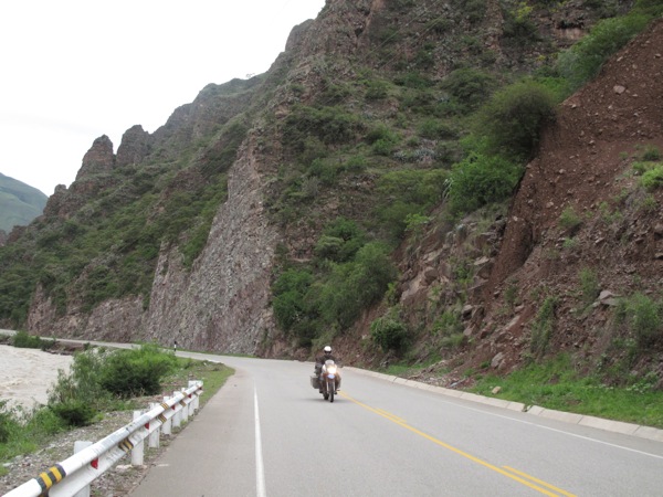
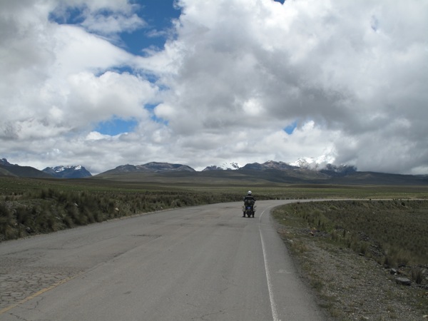
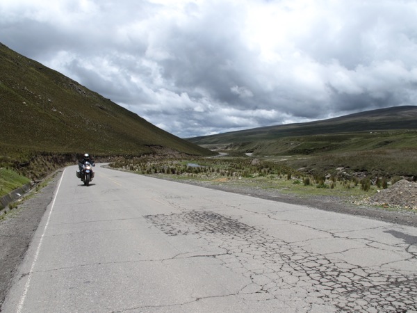
If the ride up to Puquio was a real pain, the roads from there to Cusco were our reward. The pavement was in great shape, and even the first miles were nice. The road out of town twisted nicely among the hills, gradually rising up above the city as it rose to cross the mountains surrounding the town.

IMG_3615.jpg
IMG_3617.jpg

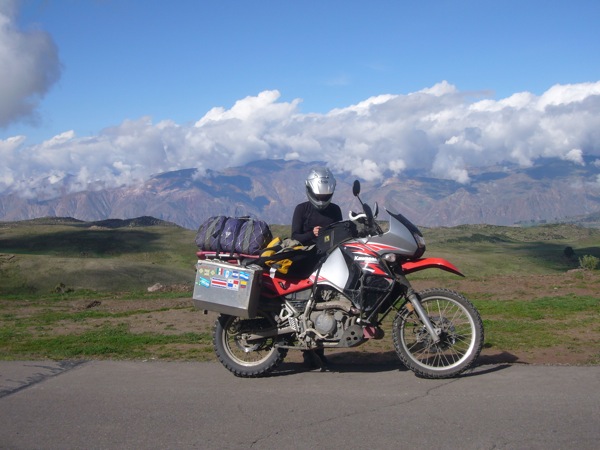
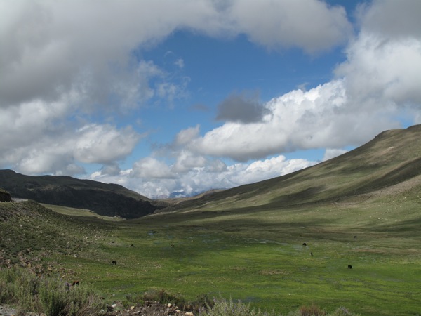
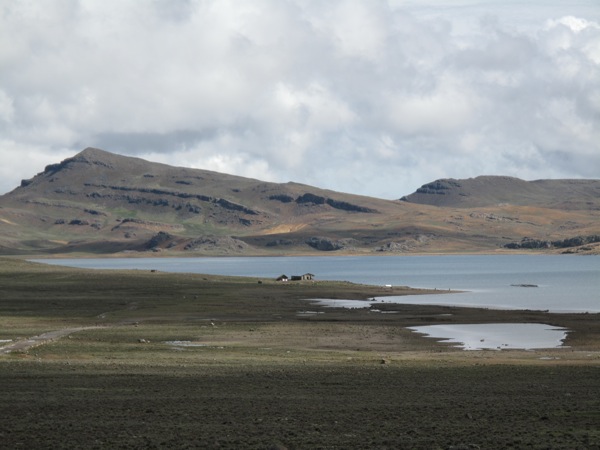
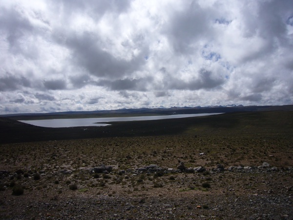
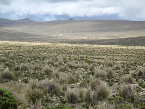
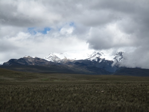
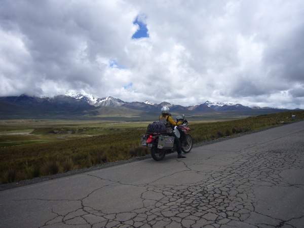
Once we were over the top of the mountain, we were on a high plateau with only ground cover vegetation. It was a beautiful setting with wide open views of the surrounding snow covered peaks. It was a rare combination of huge lines of sight on a road that still had plenty of curves. We passed a few small lakes that provided nice reflections of the landscape.

IMG_3622.jpg
P1020900.jpg

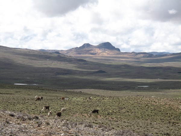
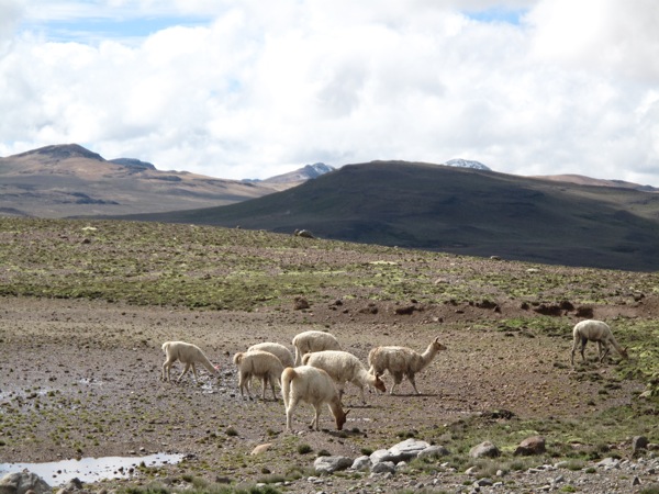
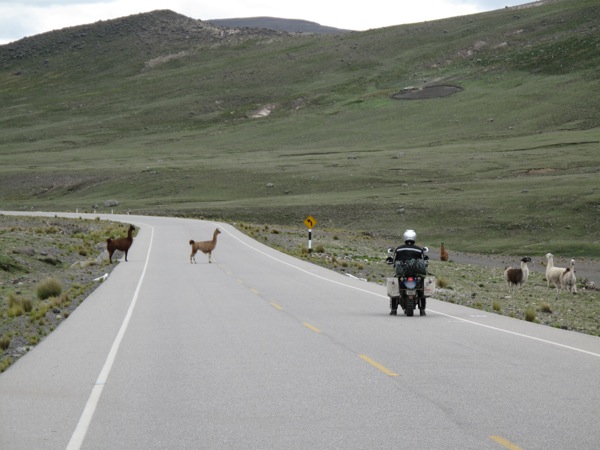
This was llama and alpaca country and we would occasionally zoom by small herds. Even rarer were the shepherds and shepherdesses, who would usually be somewhere in sight of the herds, but not visible from the road. Occasionally we’d catch a bright red poncho or shawl moving out amongst the rocks.

IMG_3634.jpg
IMG_3645.jpg

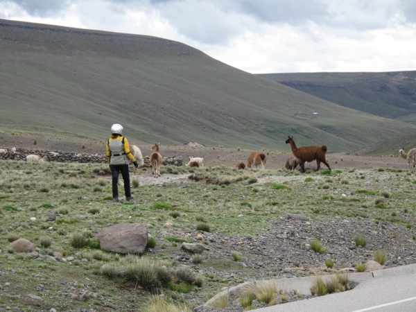
Seeing llamas and alpacas was still very new and fresh so we would often stop and take pictures and just generally enjoy the sight of an unfamiliar mammal in its natural setting. Inna took it a step further and got off the bike to give chase to a few of them and see how close she could get to them.

IMG_3641.jpg
P1020904.jpg

We had neglected to fill up our tanks in Puquio and all of the towns indicated as large on the maps turned out to be small collections of a few houses. Nice map. Fortunately, we had been riding along at extreme altitude. Most of this plateau was over 14,000 ft with a high point of 14,964 ft. The bikes were slow to pick up speed this high up, but the air was so thin the max comfortable cruising speed was higher than normal and gas mileage was good.

[qt:/southernexposure/wp-content/uploads/2009/02/p1020903.mov 320 240]

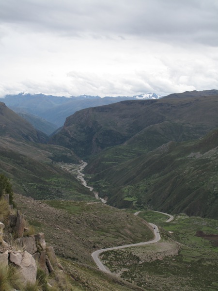
We came to the edge of the plateau and the road descended into a river cut canyon. We could see we had quite a descent to the river ahead of us, so we shut the bikes off and coasted down hill. We made it almost 25 miles without power and strangely we even passed a few cars.

P1020908.jpg
IMG_3654.jpg

After a short ride with my bike on reserve, we did make it to Chalhuanca, where we got gas and ate lunch. We ate in a local restaurant that was situated right on the river. We could look out the window down into the river, so Inna ordered some trout while I stuck with the chicken.

IMG_3657.jpg
IMG_3662.jpg

The ride continued for miles down the river. River rides can be counted on to be enjoyable as the road snakes alongside the river channel, and this ride was no disappointment. It’s easy to relax into the rhythm of the river curves and the pavement was pristine.

P1020912.jpg
P1020913.jpg

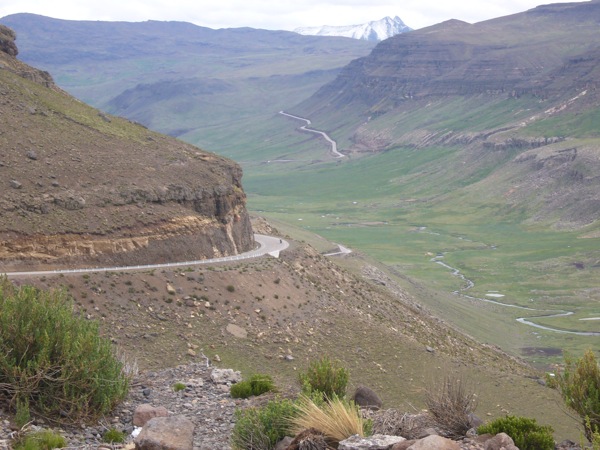
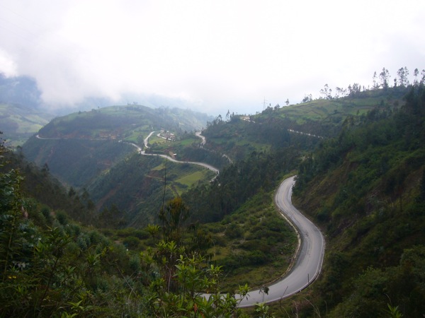
We eventually reached the town of Abancay, which didn’t make too much of an impression on us. The road wound steeply up from there, from 5,000 ft to 12,000 ft. It gave a great view of the town and of the twisting road we’d just taken.

P1020917.jpg
P1020918.jpg

The road descended again through a drier valley before climing back up to high altitude. The rest of the ride to Cusco was an easy ride through the countryside, regularly passing through small towns as twilight approached. It was just after sunset when we pulled into Cusco, and as we sat looking at our guide book to pick a hotel, a man approached us with an offer of a hotel with motorcycle parking. I can’t complain when the hotel comes to us, and Hotel Casa Grande was suitable, with a larger inner courtyard for secure parking.

P1020920.jpg

Huacachina Oasis to Nasca to Piquira: A Long Day’s Adventures

Monday, February 9

We woke up early today knowing that we had a long and exhausting day ahead. The hostel residents partied until 2 am last night and our room was un-conveniently located right next to the discoteca. The ear plugs and the eye masks saved the night again, and we actually got decent sleep.
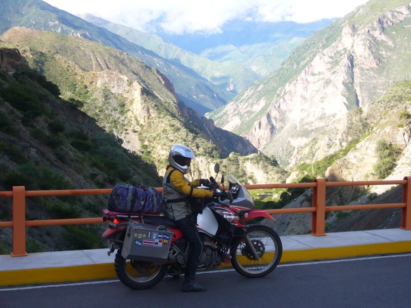
Out the door at 8 am I was only able to get a cup of instant coffee at the hostel bar for $1. The hostel restaurant which advertised its doors open at 7:30 am was tightly locked up, and everything else in town was still asleep.

IMG_3529.jpg

The ride to Nasca started out uneventful. As we left the dunes the road took us through a number of dusty road towns. The police usually set themselves up at the entrance of each town, so it was difficult to gain momentum as the speed limit goes down to 35 km/h around urban areas. We’ve heard a lot about corrupt Peruvian road police, so we have been very careful about slowing down when we need to or as soon as we spot them hiding in the bushes. We’ve been stopped twice but they never had anything on us, just checked our papers and let us go.

IMG_3532.jpg

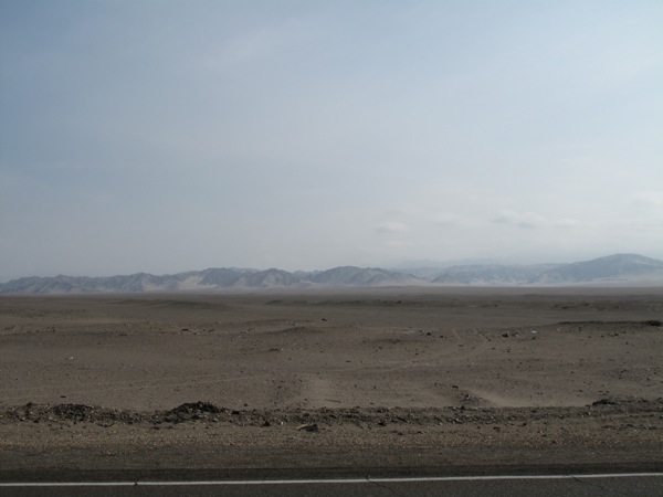
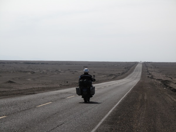
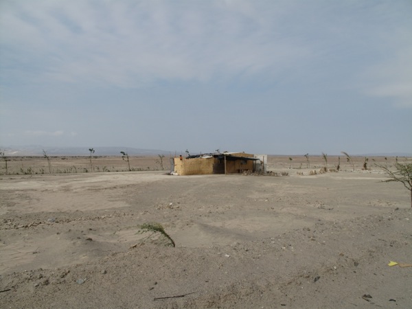
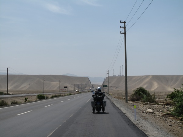
The next stretch of the road was quite spectacular as we rode through completely flat and uninhabited light grey colored desert. Only once in a while there would be an unlikely shack hunched down by the side of the road, and strangely enough a person sitting on the “porch” watching the occasional car go by. I really wanted to stop and take pictures of these isolated nomads but felt uncomfortable doing it in their face. The only picture I was able to snap is of the lonely shack in the dessert.

IMG_3534.jpg

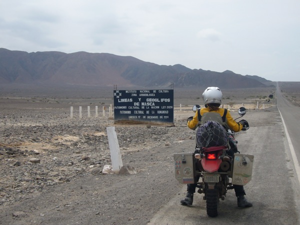
As we were pulling up closer to Nasca town the highway passed through the area where the Nasca lines were located.

P1020877.jpg

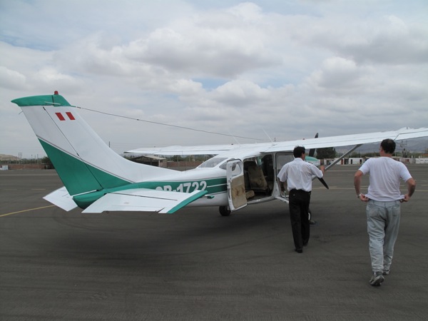
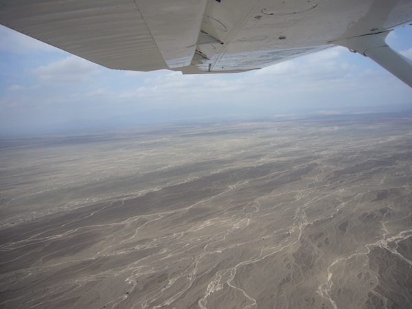
You could not tell from the road that the geoglyphs existed there. We went directly to the Nasca airport and got our tickets for a flight over the Nasca lines. After about 40 minutes wait we were finally boarding the small five-person plane.

IMG_3537.jpg
IMG_3539.jpg

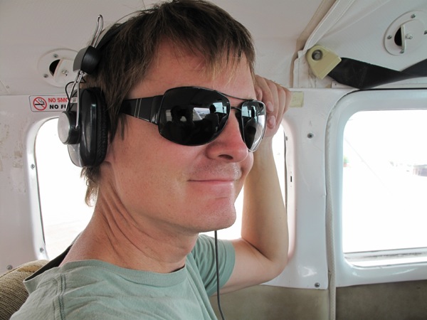
The pilot gave us all a barf bag, “just in case” he said. We all laughed at him, put our head phones on and the plane took off. Right away as we were gaining altitude up to 100 meters the ride felt very bumpy and exceedingly unpleasant.

P1020879.jpg

Before we even saw the first geoglyth I was thinking to myself that the barf bag might come in handy, and how embarrassing that would be to actually use it, and oh my god, I am so glad we didn’t have anything to eat that morning, may be I can get through this 35 minute flight with dignity.

IMG_3542.jpg

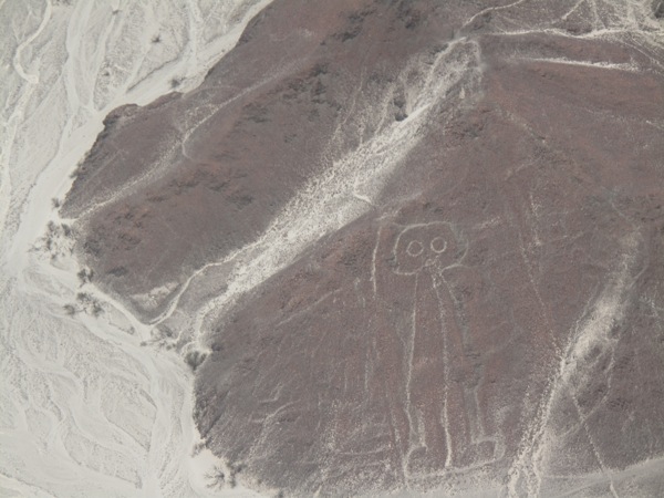
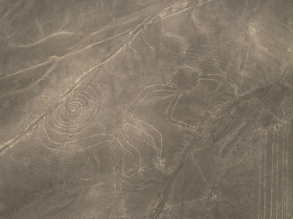
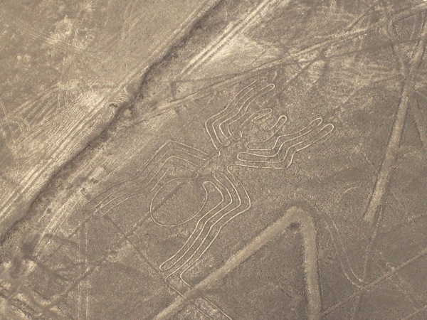
The pilot was pointing out the geoglyphs and flying around them once in a circle to make sure each side of the plane could see it and take pictures. The more geoglyphs we saw, the more circles we made, the more sick I felt.

IMG_3543.jpg

The lines were all different in size and definition, but much smaller than I imagined. My favorites were the monkey, the astronaut, the spider and the humming bird. I was on my last reserve when the pilot signaled the end of the tour.

IMG_3545.jpg

We started descending and judging by the look on everyone’s faces I was not the only one feeling so sick. When we finally landed, we got out of the plane and all walked very very slowly into the lobby of the airport. It took about 15 minutes of chair rest to get back to normal. All I wanted to do was to lie on a bed for a few hours, and the prospect of needing to get on a bike and riding through the mountains made me feel sorry for myself.

IMG_3561.jpg

It was 12:30 pm when we left the airport and started climbing up into the mountains. The weather conditions were becoming worse as we went higher, the drizzling rain turned into heavy rain, combined with heavy fog, combined with some of the worsts roads we have travelled on up until now. After two hours in first and sometimes second gear we finally made it out of the clouds and into a beautiful scenery of brown and yellow meadows with picturesque mountains on each side.

IMG_3568.jpg
IMG_3570.jpg
IMG_3574.jpg

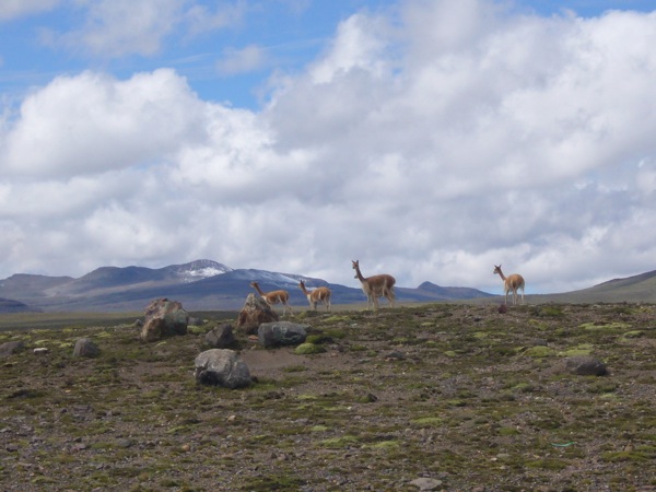
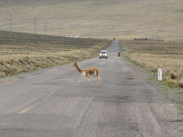
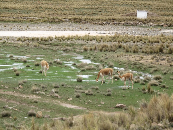
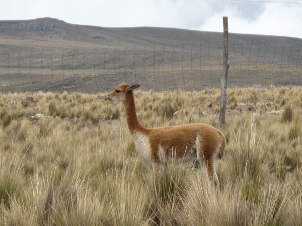
We rode through the Reserva Pampa Galeras park where adorable vicunyas where roaming around the fields. I couldn’t get enough of them and we stopped frequently for pictures. They are extremely cute, curious but very skittish.

IMG_3587.jpg

After the park we started climbing up again. It was getting cold so we put on more clothes and were faced with more rain, fog and awful roads. It didn’t seem possible, but the roads were getting even worse than before, there were more potholes than the road. I was swearing all ride long and towards the end lost all patience in trying to avoid the pot holes, it was all the same.

IMG_3592.jpg

After six grueling hours since we left Nasca we only did 100 miles, much less than we expected. We decided to spend the night in Piquira the only town in the next hundred miles that would have a hotel. We were so exhausted and wet from the ride that we took the first hostel that we could spot thinking that might be our only option. They had a garage, which sealed the deal for us. This was the worst hostel we have stayed at on this trip, but we were just happy to get a roof over our heads at that point.

IMG_3595.jpg

Once we settled in, we went to find dinner and discovered there was actually a main plaza in the town and more and what seemed like nicer hostels. You would think by now we should have learned that if one wants to find a decent hotel or a restaurant one should always look for the main plaza in any size town. After the ride of today however everything we have learned skipped our minds.

After another dinner of roasted chicken and french fries (that seems to be the plate de jour anywhere we go) we went back to the hostel, put on warm clothes to sleep in, watched a couple episodes of Dexter and fell asleep planning to wake up as early as possible tomorrow to get out of this dump and make it to Cusco.

Playa Hermosa to Huacachina Oasis: Good Times in the Dunes

Sunday, February 8

IMG_3481.jpg

We ate a breakfast of yogurt and fruit from the convenience store and were happy to leave Playa Hermosa behind. The ride continued down the desert coast, which was the home to all of Lima’s suburban beaches. It was mile after mile of playas and unusually for us, we didn’t feel any compulsion at all to hit the beach.

IMG_3483.jpg

Further south, the ride through the Peruvian desert continued. At one point the freeway had cut a huge ‘V’ through either a hill covered in sand or a sand dune. The Panamerican finally turned in from the sea, heading southeast. The temperature increased correspondingly with the distance from the sea, and we were soon feeling quite hot in our riding gear.

P1020859.jpg

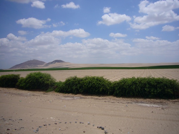
We passed through the town of Pisco, home of the famous pisco wine used in pisco sours. Between Pisco and Ica we rode through desert that was being cultivated. I can only infer the water used for the crops is coming from underground as the surface is pure desert. Pisco must be a variety of grape that enjoys rooting in sand. It’s a strange site to see people farming in the desert.

A few miles outside of Ica, we stopped for gas, and our quick stop turned into an extended stay. Inna was overheating, so we parked in the shade and bought some water and gatorade type drinks. The gas station attendant was very friendly, and he gave us a bushel of fresh grapes. It was harvest time so the grapes were right off the vine and delicious. He told me so many things about the region and wild stories about witches and people wandering out of the desert it was hugely frustrating that at most I could only understand half of what he was saying as he spoke rapidly. I’m sure I missed out on some great tales.

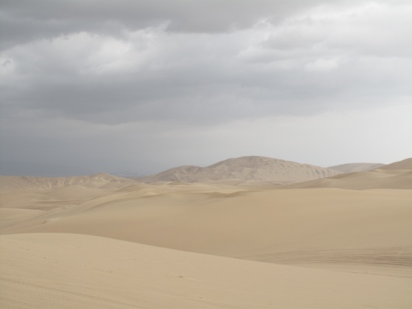
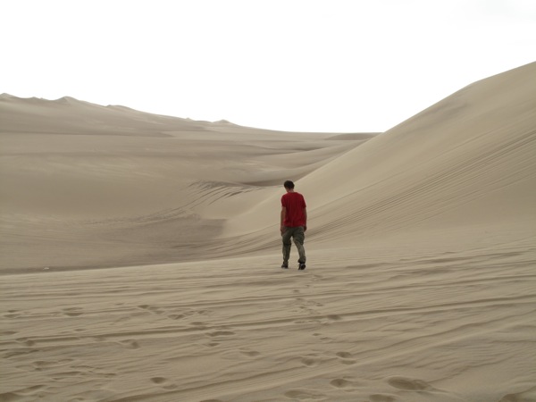
It was still early afternoon, and we made the decision to go to Huacachina, a desert oasis a few miles outside of Ica rather than push on towards Nasca. Huacachina was famous for its vast desert sand dunes, and we were keen to try our luck at sand boarding. The dunes would be our reward for all of the boring desert stretches.
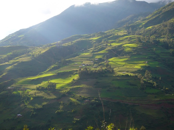
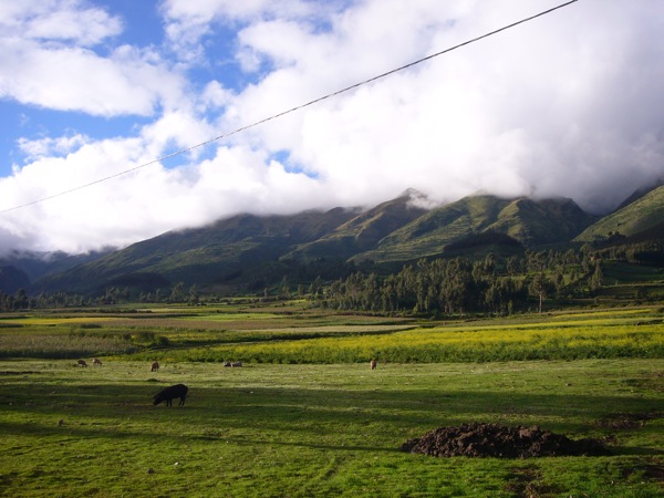
We found a hostel to stay at, and it was our first ‘party’ hostel of the trip. It was full of young latinos and europeans, all lounging around a welcome site, a swimming pool. We signed up for the afternoon’s dune buggy ride and dune boarding session and hit the pool as fast as possible. We felt a little out of place clomping through in our riding gear, but the pool felt just right.

IMG_3490.jpg

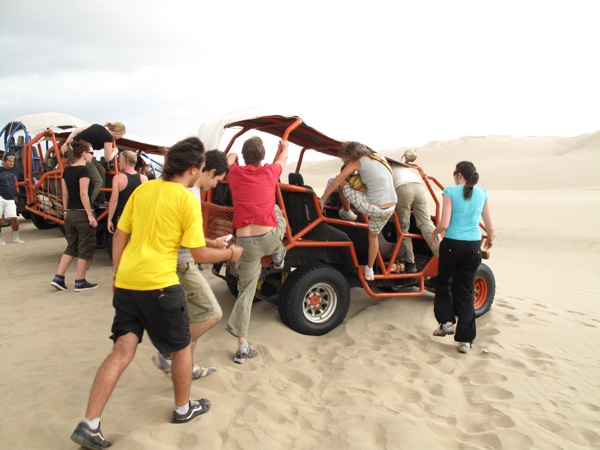
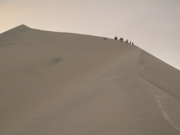
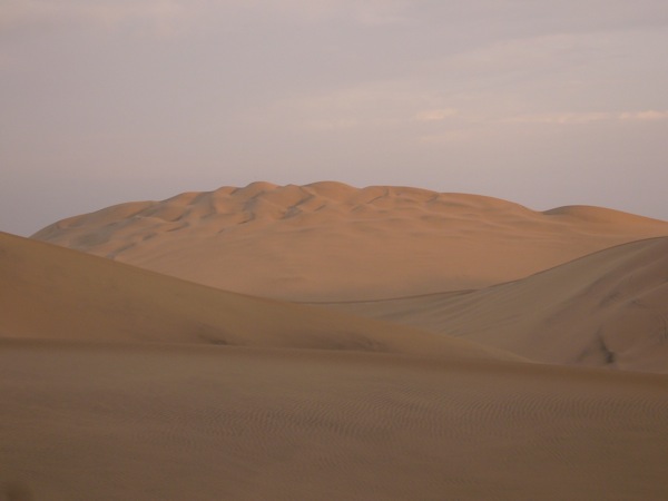
At 4:30 we gathered out front and got into the orange dune buggies. Each buggy sat 8 people plus the driver, and Inna and I settled into the back row. The driver headed through the town and stopped so we could all pay an access path at the edge of the dunes. It was our first good look at the dunes, and they were massive. Neither of us had ever been near anything like it.

I was expecting the driver to drive fast and loose immediately, to give us a good show and a proper ‘scare’. I hadn’t expected our driver to be crazy. From our parking spot he rocketed us up the side of the dune, the buggy leaning downhill. He yanked the wheel and the buggy did huge sliding arcs through the sand. Everyone in the car was screaming from fear and joy. He was clearly driving more recklessly than the other drivers, often coming perilously close to running into other buggies. It was awesome.

[qt:/southernexposure/wp-content/uploads/2009/02/mvi_3485.mov 320 240]

I attempted to take a video with the camera. It was impossible to aim the camera and I quickly gave up out of fear of losing it. I couldn’t even keep my sunglasses on as the driver took jumps over the edge of dunes and made huge power slides up the sides of the hills.

IMG_3492.jpg
IMG_3496.jpg

The buggies were made of huge tubular steel, and a naked V-8 was parked in the very front. The seats were very spartan, and the seat belt was a ‘V’ coming down over both shoulders to a clasp between the legs. We quickly discovered the importance of having the seat belt as tight as physically possible. The engine had no muffle and was a straight pipe coming out the side. With the roar of an unmuffled engine in a bare metal car flying across the desert, all we needed was a huge angry masked man driving to complete the Mad Max feel. Priceless.

IMG_3503.jpg

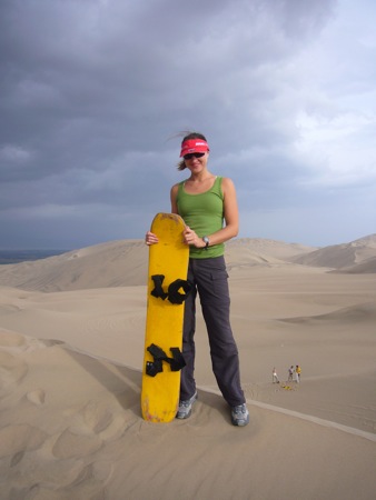
We finally took a break from zooming around the desert to do some dune boarding. I was feeling confident from my years of snowboarding, but Inna had only snowboarded once. The boards themselves were very crude planks of wood with velcro straps, and we were each given part of a candlestick to use to wax the boards. The first dunes we tried were not very high and to get a feel for the sand we road them down on like sleds.

P1020864.jpg

[qt:/southernexposure/wp-content/uploads/2009/02/p1020865.mov 320 240]

The first dunes were in a series of three steps, so at the bottom of the first one you had a short walk and were at the top of the next dune. I made my first standing run in proper boarding style on the 2nd dune and it felt very similar to snowboarding. The sand was slower than snow, but it was harder to make a turn. Without obstacles you didn’t really need to turn anyways. I quickly learned the importance of the wax – it was necessary before every run if you didn’t want to stall halfway down.

[qt:/southernexposure/wp-content/uploads/2009/02/p1020868.mov 320 240]

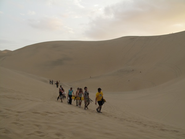
Inna made her first run like a pro. Unlike many of the others, she got the hang of it quickly and never fell once the entire afternoon. We made a few runs, with the driver bringing us back to the top once we reached the bottom of the 3 dunes. For our next step, he took us on another brief but crazy ride to a set of much, much taller dunes. He had really mastered the power slide into parking next to the other buggies.

IMG_3508.jpg

These dunes were quite high and a little intimidating. Inna went for the sledding approach while I attempted to board it. Inna flew down the hill at warp speed, while the boarding was disappointing. The wax seemed to burn off halfway through the hill and I couldn’t even reach the bottom.

IMG_3520.jpg

We made a big hike up the next sand dune, which had an even longer and steeper run down. After the disappointment of the previous run, I liberally applied wax and decided to go sledding, as it seemed like a much faster descent. It was fantastic! With a consistent wide open surface, you just point the board downhill and hang on. By the time I reached the bottom of the hill I must have been going 50 mph, sand flying all around my body. Inna had mad skills and seemed to go even faster, beating everyone else’s runoff distance considerably.

P1020869.jpg

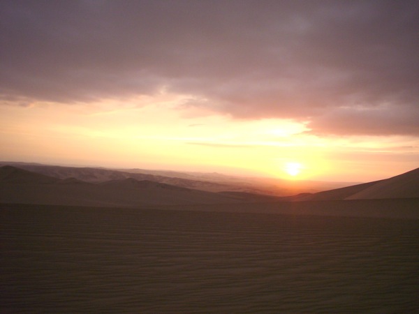
The sun was setting, so we were back in the buggy to see the sunset. We were expecting to stop to take in the view, but our crazy driver was enjoying himself too much. We flew over the dunes with the nice views but never stopped. He grew bolder and bolder, coming within feet of other buggies. For a finale, he took a huge jump over the top of a dune, with the buggy airborne for seconds, and managed to catch the landing slope perfectly. Even when we were back in town he was still rallying through the streets. Best driver ever!

P1020871.jpg

We hit the showers to try and remove our full body covering of sand. The hostel was having a big all you can drink and eat bbq that night, but we passed. We were planning on a very early departure for Nasca. We ate a quiet dinner at another hostel, toured the lagoon after dark, and made an effort to get some sleep over the noise of our hostel turned discoteca. This was the 2nd night in a row of loud music but it’s easy to sleep when you’re exhausted.
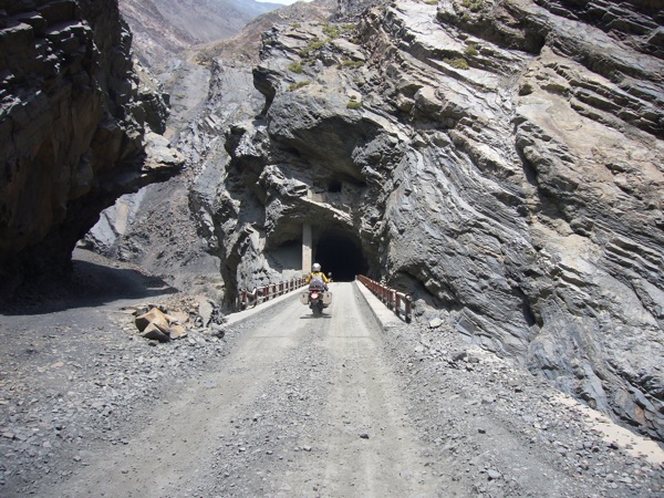
Caraz to Playa Hermosa: Descent Via Misery

Saturday, February 7

We stirred in the middle of the night to the sound of heavy rain, but by the time we woke up, it had stopped raining, which pleased us greatly. We had planned on doing another excursion on the Cordillera Blanca to the pass of Punta Olympica, which has great vistas and dirt roads over 15,000 ft. The clouds in the morning were low and omnipresent, so combined with the sure to be muddy roads from the rain, we decided we’d pass on that ride and continue our journey south.

IMG_3455.jpg

The ride down the valley, with the huge mountains looming to our left, was punctuated by frequent villages. In the larger pueblo of Huaraz, I had a tough time finding my way out of town as seemingly every road south was under construction or a dead end. It’s very common, even in small towns, for the highway that goes through town to be a different road on one end of town than the other. Signs are non existent, the Spanish must have destroyed them all because they had native names. It’s often tricky to find the road leading out of town even though you’d think it would be the same road you came in on.

IMG_3459.jpg
IMG_3460.jpg

Once we were past Huaraz, the road climbed out of the valley onto a high plain dotted with rolling hills. We were at over 13,000 ft and vegetation was sparse, which left stunning, wide open vistas. The only thing giving the area any sense of scale were the jagged, snow capped peaks across the plains to our left. If we were at 13,500 ft with no snow, the snowy peaks must be well over 15,000 ft. Traffic was almost non existent, so it was a serene ride across the landscape.

IMG_3465.jpg

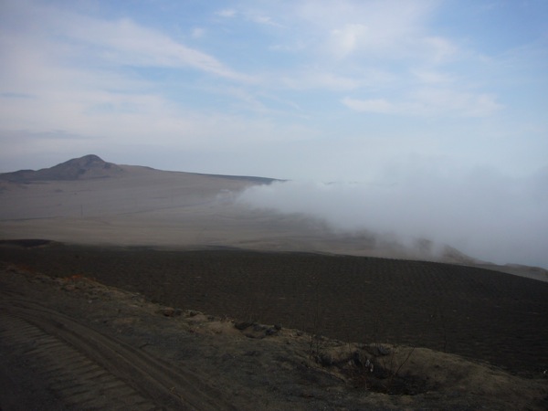
All good things must come to an end, and as the highway began to descend, we found our familiar Peruvian companion of cloud banks awaiting us. Fortunately they didn’t last for too many miles, and we were soon below them. The road however, had deteriorated into crap. The suspension on the poor KLRs got a workout traversing an infinite maze of potholes. The majority of the surface area of the road was definitely a hole instead of pavement. It was tedious, slow work grinding down the mountain. I’m not sure a dirt road wouldn’t have been preferable.

P1020845.jpg

After descending and descending even further past a large section of road construction, we were rewarded for our hard work. The road crew had done their job, and the last 20 miles to the Panamerican were super smooth, brand new asphalt. The gift of smooth tarmac was balanced by a return to the relatively boring Peruvian desert.

P1020849.jpg

As we came to the intersection with the Panamerican, we saw a guy on a BMW 1200 sitting in the shade of a road sign. We stopped to chat with him. He was from Quito and had been down south for the inaugural South American version of the Dakar. He had high praise for the event and I was a little bummed there had been no way to fit it into our schedule. He was waiting for a friend before heading into the mountains we had just left. We’d seen his friend on a KTM 20 minutes previous. I guess the friend was impatient.

P1020852.jpg

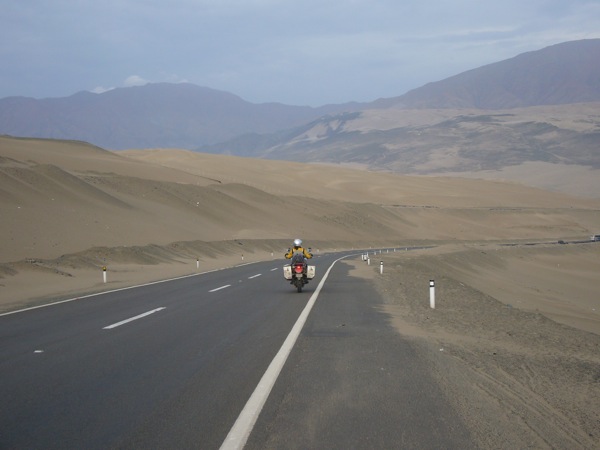
The next 175 miles was relatively straight line cruising the Peruvian coastal desert. It’s a strange juxtaposition of scenery to see barren mountains and sand dunes bordering the Pacific Ocean. Water, water everywhere and not a drop to drink. The only interesting point I remember is that we passed the crashed bus we had seen a few days previously being towed back to Lima. Strange coincidence of timing to see it twice.

IMG_3473.jpg

We reached Lima late in the day, and after spending so much time in Quito, we decided we were going to bypass the city and keep going south. Riding around in large cities hasn’t been much fin, and with a population of 9 million people, we weren’t enthused about more city time. The traffic riding through was slow at first, but picked up and we were through sooner than expected. I don’t think we saw downtown Lima proper as I don’t recall seeing many tall buildings.

P1020857.jpg

Night fell as we reached a beach on the southern outskirts of the Lima suburbs called Playa Hermosa. It was Saturday night, so it was lively. Every hotel except one had a built in discoteca, so we chose that one in hopes of getting some sleep. Naturally it had a discoteca/sushi bar next door to compensate. We ate an overpriced dinner and went back to our overpriced hotel, which at least had secure parking. The music went till dawn but with earplugs we slept through it. We never even saw the beach of Playa Hermosa.

Central Andes, Cordillera Blanca: Lagunas Llanganuco

Friday, February 6

Our plan for today was to take the side boxes off the bikes and visit one of the highlights of the area, Laguna Paron.

IMG_3448.jpg

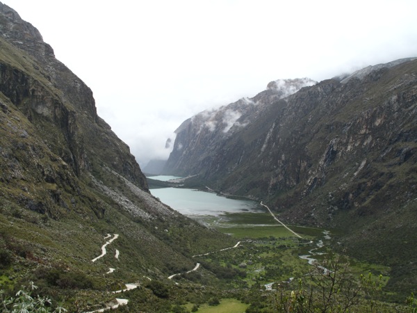
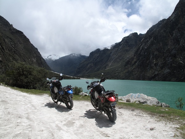
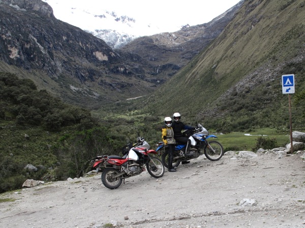
Unfortunately, we discovered that the road into the mountains was closed, so we decided to ride to the next village of Yungay and take a dirt road to a part of the Huascaran Park called Lagunas Llanganuco, two stunning alpine lakes surrounded by high mountain peaks.

IMG_3399.jpg
P1020823.jpg

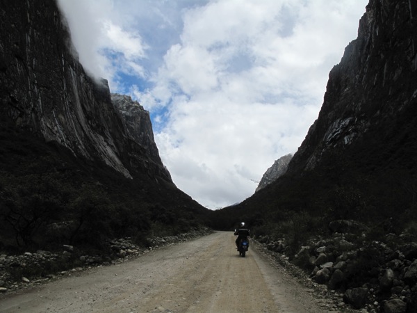
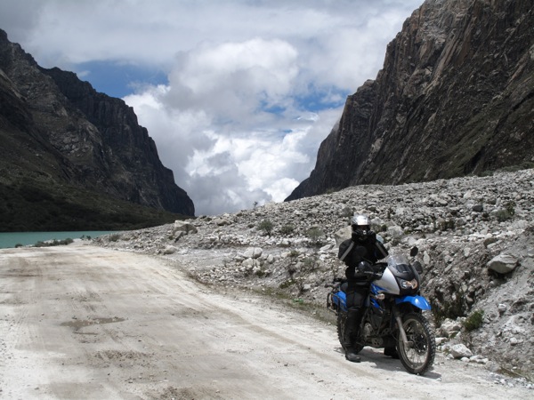
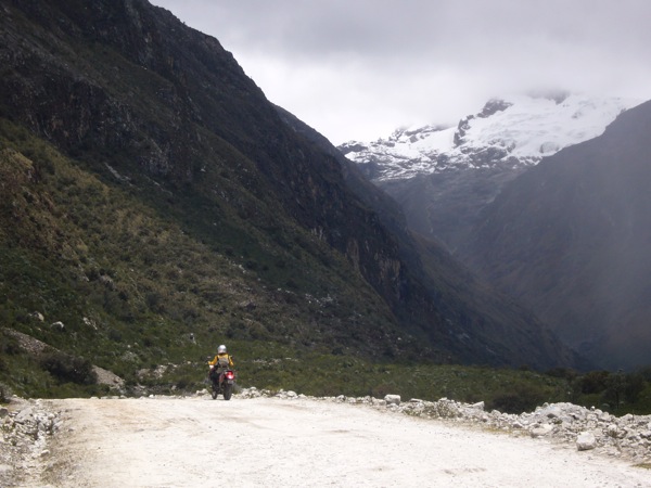
To get to the park we had to ride up a dirt road which was in a very bad shape for about 20 miles. After purchasing our tickets at the park entrance, we kept going deeper into the mountains, and the road was actually slightly better than the village road.

IMG_3411.jpg
IMG_3404.jpg

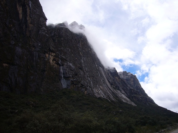
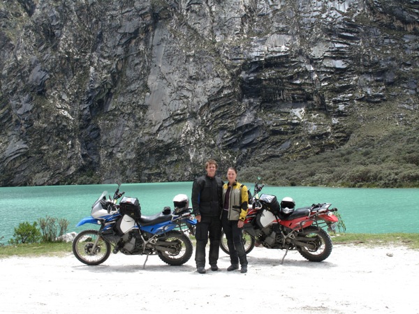
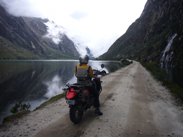
The scenery was beautiful and dramatic from the moment we entered the park. Riding through a glacier cut valley, surrounded by high cliffs of different kinds of rock with magnificent snow-capped peaks in the distance, the road shortly led us to the first lake. The water sparkled with deep turquoise reflecting the surrounding mountain peaks.

IMG_3415.jpg
P1020833.jpg

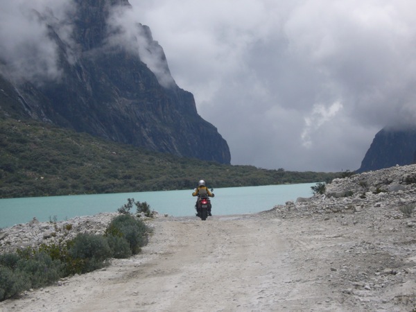
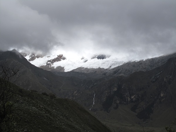
As we were traveling further down the road, the sky began to darken, covering most of the snow-capped peaks and we could tell the rain was unavoidable. We reached the second lake that was bright blue at one end and deep green at the other.

P1020840.jpg
IMG_3422.jpg

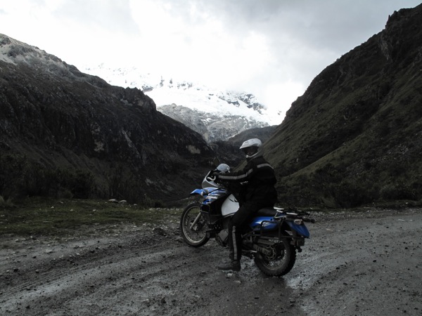
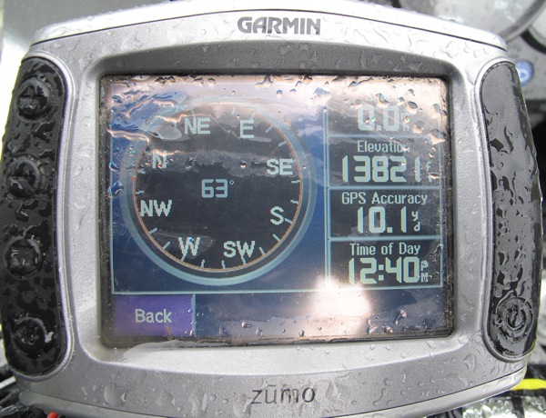
After marveling at it for a while, and despite the rain, we decided to ride higher up into the mountains in hopes of getting more good views of the valley. As we went up, the road was getting narrower, steeper and more rocky, while the view of the mountains was becoming more masked by the clouds.

IMG_3435.jpg
IMG_3443.jpg

We are here during the rain season so most likely we will not be able to appreciate and enjoy the massive arresting ridges in the Cordillera Blanca because of the clouds and the rain that take over the mountains at this time of year. It rains pretty much every day in the afternoon – that was a sad discovery for us. Not much we can do but put our rain gear on, suck it up and hope for an occasional clear view of the cordilleras.

IMG_3445.jpg

The road and the weather conditions were becoming more dangerous, so we decided to turn around.

IMG_3451.jpg

We met one of the locals on the road who asked Matt to give him a ride on the back of the motorcycle to the park entrance. Matt took him on as a passenger, and said later the bike felt much better with him riding on the back as the bike was set up for heavy luggage. The guy decided to get off in the field with roaming cows to say hello to his buddies. We continued on, said our good-byes to the lakes and the mountains, struggled a bit down the village road and finally made it back to our hotel back in Caraz.

P1020826.jpg

Riding mountain dirt roads of Peru is extremely hard on our bodies and the bikes. We thought about staying tomorrow night at another small village nearby for another excursion into the mountains but were pretty sure the clouds would stay in the way of the views and our bikes and bodies were pretty beat up from two days on the dirt roads. We took it easy in the afternoon, Matt napped as I wrote the blog.

We walked to dinner in heavy rain, the streets were flooded with massive rivers of rain water. After dinner we had a chit chat in the lobby of the hotel with a Swiss gentleman who travelled in an RV with his wife. They have been traveling the world on and off for the last nine years in their RV, visiting all the places they had not visited when they travelled as a young couple. What a great life, is there anything better and more satisfying than this?

Chimbote to Caraz: The Tough and the Beautiful

Thursday, February 5

P1020781.jpg

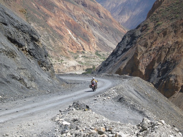
Today was one of the most difficult and beautiful rides of our trip. We were venturing east off the coastal road into the heights of the Peruvian Andes, the Cordillera Blanca. Our destination was a small village of Caraz where we planned on staying for another day to take a day trip into the Nauscaran National Park known for its stunning snow capped peaks and pristine alpine lakes.

IMG_3366.jpg

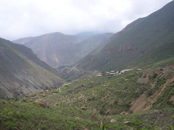
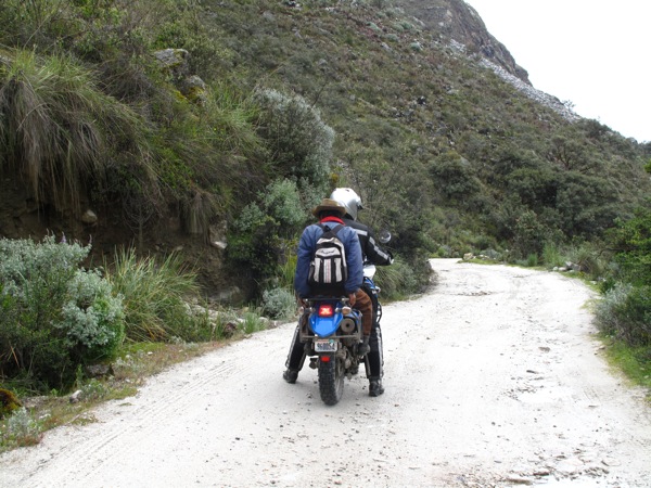
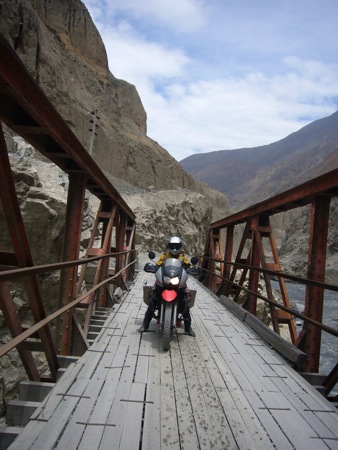
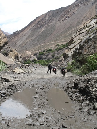
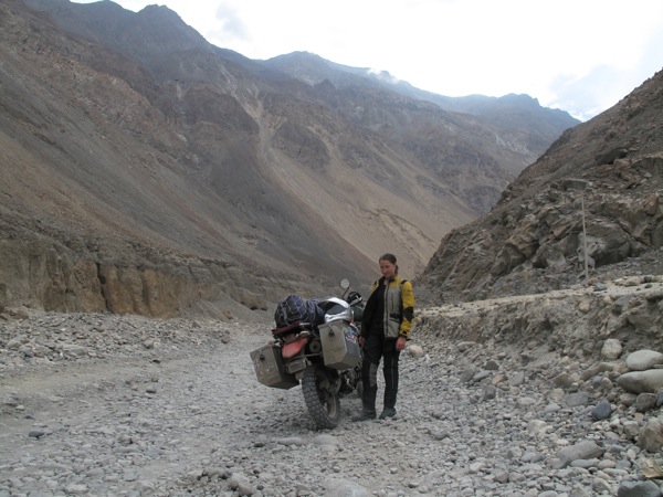
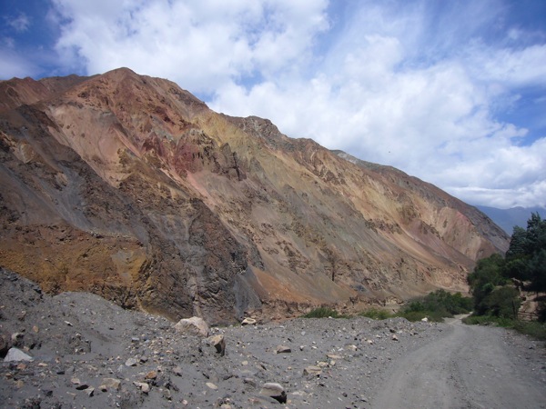
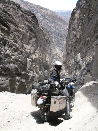
55 miles of paved rode turned quickly into a dusty rocky dirt road that we would follow for the next five hours at about 20 miles an hour along some of the most spectacular desert mountain scenery we have seen.

P1020783.jpg

This was the type of road I dreaded ever since we started this trip. For the exception of some roads in Costa Rica and occasional short distance dirt roads, we have been keeping to pavement. I knew that the further south we got the worse the road conditions would get, and especially in Peru, Chile and Argentina. If you want to see spectacular views the only way to get to them is by dirt. Peru is notorious for the bad condition of their roads, so this was the true test to my dirt riding skills, as well as my mental and physical strength.

IMG_3379.jpg

I tried to keep reminding myself what I learned in the dirt riding class: sit straight, hug the tank with your knees, relax your arms, look ahead. Easily said than done, my first instinct was to panic and grab on to the bars as hard as I could. While trying to maneuver the pot holes, the mud, and the slippery rocks, I was forgetting to breathe.

IMG_3357.jpg

It started out harsh. As I was concentrating on the road, Matt who was riding in front of me stopped to let the bus pass by. I was following him too close and in the split second instead of using the rear break I clenched the front break, slid on the rocks and fell on my right side, my right foot caught under the bike. It hurt a lot, but didn’t seem like I broke anything, just a nice size bruise. Matt helped me lift the bike up and tried to cheer me up. I was giving into the panic – 60 more miles of this, I don’t know if I can do it! But somehow dropping the bike helped me let a certain tension out of my body, and I was determined to dominate this dirt road monster.

P1020792.jpg
IMG_3367.jpg
P1020796.jpg

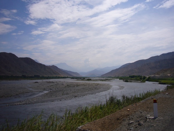
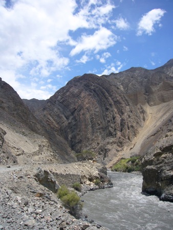
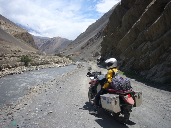
The narrow road veered through the base of the mountains along a good size river with strong current and brown water. It was physically tiring navigating the road trying to chose the less rocky track to be in, especially because one side of road dropped drastically into the river and the other one had sharp continuous cliffs that I certainly didn’t want to bump into. A few times I slid and almost fell trying to steer through the middle gravel section of the road, but was getting better at steering and holding on to the bike, letting it correct itself.

P1020803.jpg

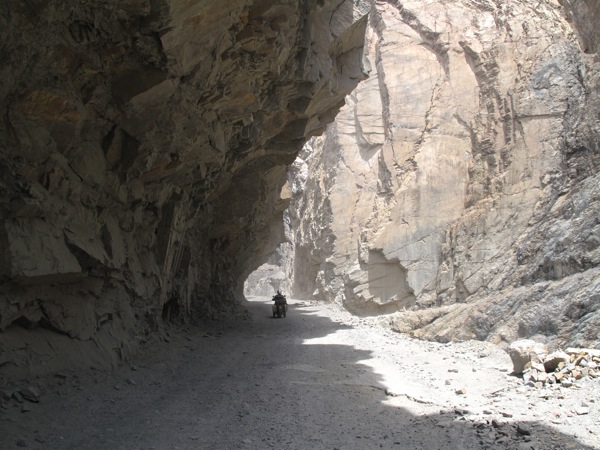
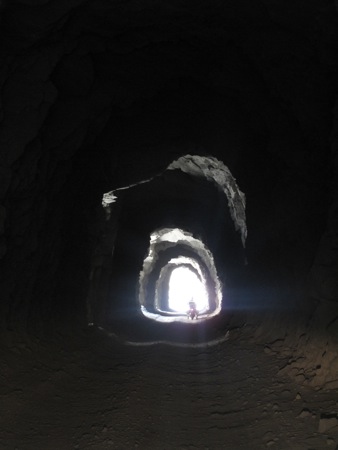
After about three hours of riding we ventured into the Cañon del Pato which had a cool dam and a lot of long tunnels, which were obviously not lit, so you ride in complete darkness hoping that there are no surprising rocks or holes along the way.

IMG_3375.jpg
P1020800.jpg
P1020789.jpg

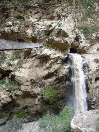
At some point there was a beautiful waterfall on the other side of the river. We stopped to take a picture and noticed that a couple of locals were transporting a goat across the canyon.

[qt:/southernexposure/wp-content/uploads/2009/02/p1020814.mov 320 240]

There was a woman, a goat and a man in a small “canopy car,” he was pulling the rope moving the “car” slowly along the wire stretched high above the river. It was a fascinating sight. We could not figure out what they were doing on the other side because the mountain was very steep and there didn’t seem to be any trails that a person or a goat could walk on, up or down.

P1020816.jpg

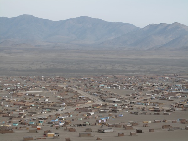
Around 3 pm we made it to the first village town and the road according to our map was supposed to be paved. No such luck. After another 30 or so miles we finally reached our destination of Caraz. The town was tiny and felt dead, until we got to the main square. The funny little three-wheel taxi cars that look like the ones you see in India (but made proudly in Peru!) were buzzing around the zocalo, so that was a sign that there was some life in this town, even in the off-season.

P1020822.jpg

We settled in a nice and spacious Los Piños Lodge, which had an outdoor garage. Our bikes and gear were completely covered in mud, so we were happy use their hose to clean ourselves and the bikes up.

We found dinner at one of the restaurants on the square, and grabbed some ice cream on the way back to the hotel. The locals are known for their sweet tooth. There is a panaderia (bakery) and an ice cream shop on every corner, and they even have such ice cream flavors as “beer.” No, we didn’t try it, chocolate always gets priority.