Cartago to Playa Tortuga: High to Low
- on 01.19.09
- Costa Rica
- 1 Comment
- Digg
- Del.icio.us
Tuesday, January 6
Not desiring to linger in Cartago, we rose early, had our free breakfast, and packed the bikes. Although they had been behind a fence topped with razor wire, they were visible from the street so we slept poorly, waking several times to check on the bikes. We headed back out of town on the road we came in on and shortly found our way to the Panamerican Highway.
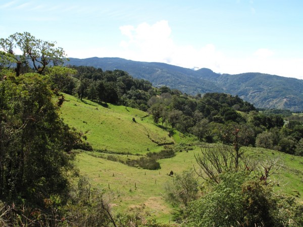
Green Hills of Costa Rica
Our plan for the day was to ride to the southern Pacific coast of Costa Rica. We would leave the Panamerican to head to Dominical, then ride the coast road until we found a suitable place to stop overnight. The beaches along this stretch of coast were supposed to be remote, but spectacular. It was partly cloudy in the morning, so we shed the rain liners and dressed as lightly as possible, expecting high 90 degree temperatures along the coast. Cartago was located at 5000 ft so the morning temperatures were comfortably cool.
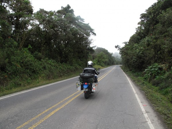
Riding up and up
We were only a few miles out of Cartago before the road began to climb. The landscape was the usual lush Costa Rican green. The traffic was light with the exception of a few lines of trucks held up by a slow vehicle. The trucks would ride just a few feet behind the bumper of the truck in front of them, leaving no gaps. Passing meant passing the entire line in one shot so it required a relatively straight stretch of road to get through.
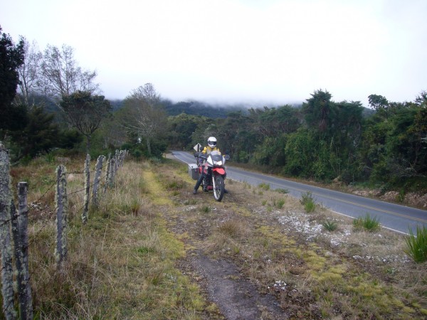
Parked in the clouds
To our surprise, the road continued to climb ever higher. The map we were using had contour lines on it, but they were rarely marked with altitude numbers. We knew we were crossing mountains, but we didn’t realize how significant the mountain pass was going to be. The fauna changed shades, with the green becoming less intense while the density of the jungle remained constant. Dressed for sweaty beach riding, we were becoming fairly chilly at this point and we cranked up the heated grips.
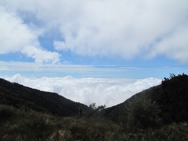
Above the clouds
I was watching the altitude on the GPS as we crossed through the clouds 6500 ft. What we had expected to be a fairly routine day of transit had turned into a spectacular ride. The hillsides were becoming rockier, some covered in a fantastic red algae or moss that we never managed to photograph. As we crossed over 9000 ft the jungle was still thick, which we northerners were unused to. In the Seattle latitudes, 9000 ft would be above the treeline and rocks only. Here near the equator we were surrounded by jungle.
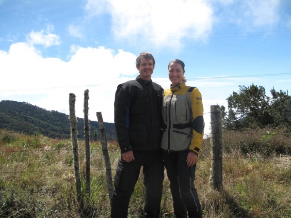
The highest GPS reading I have tracked was 10999.7 ft. We found a great viewpoint where we could stop and admire the view. We were looking down a forested valley in the clouds 4000 ft below. We lingered here for a while, soaking up the natural beauty of the scene. Without the rushing air from riding, we were able to warm up before remounting.
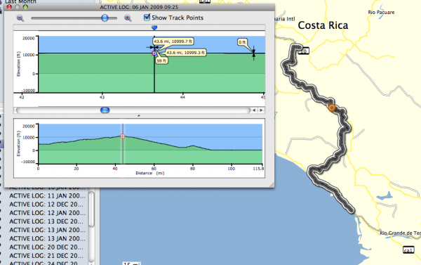
Almost 11000 ft
We descended a thousand feet to another scenic viewpoint where we took more photos. As we continued our descent, I felt a bit tipsy or lightheaded. It took me a moment to realize it was because of the altitude. I slowed down and within a few miles of downgrade I was back to normal.
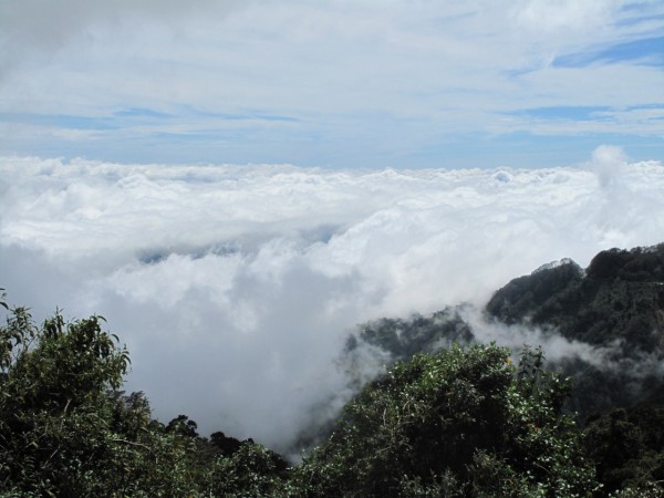
Cloud Forest
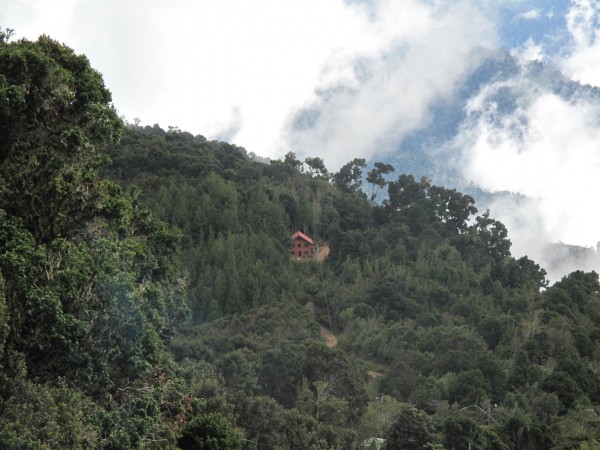
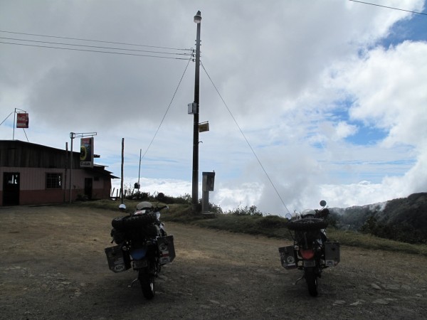
Another photo stop
Our turnoff point from CA-1 (Panamerican) was San Isidro. We had dropped 8000ft from the peak to 2300ft. We rode through the town on the road to Dominicali. As we road up a hillside overlooking a particularly scenic valley and San Isidro, we found a nice restaurant, and had a tasty lunch on the terrace overlooking the valley below.
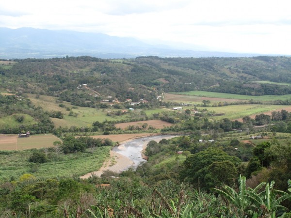
Overlooking the San Isidro Valley
After lunch we continued on down to Dominical, and started our search for a nice play to stay. It was early afternoon, so we had the rare luxury of being able to slowly work our way down the coast stopping in at several hotels to compare facilities and beach access. This part of the coast was a wildlife sanctuary, so none of the hotels were actually on the beach. They were all set back along the highway half a mile from the coast. This is good for the wildlife but makes the beach access difficult.
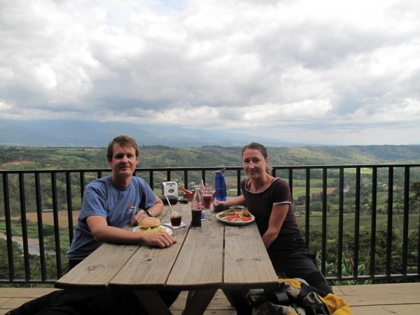
Lunch
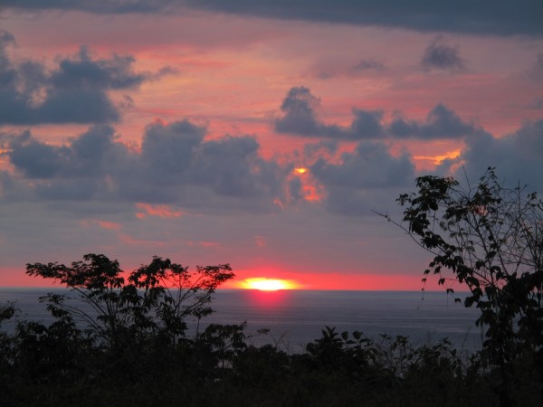
Few of the hotels we stopped at seemed worth their price, but we eventually chose the Lookout. The owner gave us a break on pricing, and the hotel was set high atop a hill with a panoramic view of the Pacific Ocean. We unpacked the bikes and quickly jumped into the pool. We had descended from the cool air of 11000 ft back to the sweltering heat of sea level in one day. The pool felt wonderful and we enjoyed a overly cloudy, but still nice sunset from our hilltop hotel.
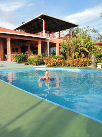
Sanctuary from the heat
Dinner was a short walk down the hill and down the road. As is typical in Costa Rica, foreigners owned the hotel restaurant we were headed towards. This particular one was owned by a clan of Estonians, and they had all of their friends from the area over for drinks and dinner, so it was quite a lively scene. The food was as good as the people watching, and after our walk home, we made it an early night.
Leave a Reply
You must be logged in to post a comment.